Showing posts with label Iceye. Show all posts

Saturday, October 15, 2022

Iceye and StarLink are the next-generation systems that can use for civil and military purposes.


Image 1) Iceye satellite


Iceye is a Finnish startup company that creates miniature radar satellites. Those satellites can observe floods, cities, and many other targets. But those satellites can also give information about the movements of the enemy. Those miniature satellites are delivering target data from Russian troops and then send that data through the satellite communication systems to defenders. 

The radar satellite can make a 3D map image from the ground below it. And then computers can position that image on the radar map that covers the entire earth. The system compiles the form of the ground below the satellite and radar images that are in its memory. Then the system positions the image to the right point. 

The miniature radar satellites show their ability to search targets and send data to the customer in real-time. The miniature satellites are tools that can interconnect to one swarm. And that thing makes them very useful tools. The operators can make clouds around the Earth by using miniature satellites. 

And those systems can deliver information from any point on earth in seconds if those satellites are covering the entire planet. Radar transponders are tools that are giving more accuracy to those satellites. The radar transponder can be a miniature quadcopter that lands on the target. That transponder can also turn communication satellites into locating systems. 


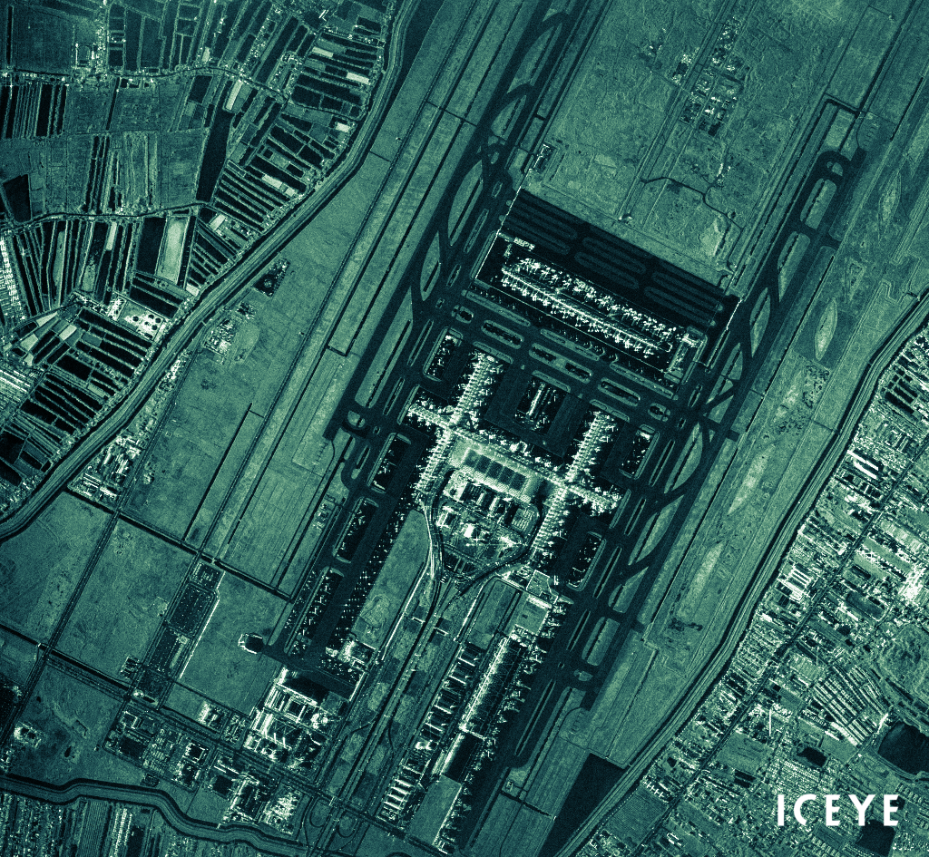
Image 2) Iceye's high-resolution satellite image 


Another system like StarLink can offer communication tools. But the StarLink-type systems are also multi-use tools. They can also locate targets. 

The idea of that system is to use transmitters. And then three or four Starlink satellites use the triangular measurement for locating that pointer. The fact is that these kinds of systems are very useful tools for giving real-time position data to customers.  

But when we think about communication and radar satellites those satellites can also operate against things like drone swarms. The high-power radio bursts can lock the communication systems that are connecting drones to one entirety. 

If those radar or communication satellites are creating electric arcs to air that kind of system can also destroy at least high-flying aircraft. Maybe that kind of system cannot focus those cutting radiowaves on missiles. Can those systems destroy ground targets depending on their transmitting power? And the ability to locate their targets. But they can harm other satellites and slow high-flying aircraft. 


https://www.iceye.com/


https://www.starlink.com/


Image 1:) https://earth.esa.int/eogateway/missions/iceye


Image 2) https://www.iceye.com/press/press-releases/iceye-shares-nearly-18000-satellite-image-archive-under-creative-commons-license


Friday, February 4, 2022

The Iceye system is one of the newest satellite surveillance systems.


Image 1) Iceye satellite (https://www.businessfinland.fi/en/whats-new/events/2021/space-technologies-and-environmental-sustainability)


The Finnish designed Iceye system is 16 miniature SAR (Synthetic Aperture Radar) satellites that can make the topography imaging that covers the entire world in one day. 

Those kinds of systems are the next-generation tools for making real-time imaging from a volcanic eruption and burning forests. The thing that makes radar satellites able to see things like burning fire is a radio spectrometer. The radio spectrometer sees the gases that are released from the burning material. 

And another thing that the SAR- technology makes possible is to observe the rising gases. The radar sees the rising gas above the fire point. And then, the system can detect the suspected fires. But SAR-radar-based radio spectrometers also see poisonous chemicals. The idea in radio spectroscopy is that certain atoms are stressed by using radio waves. Those atoms are sending the electromagnetic echo. This echo is visible in the monitors. 

In some visions, the entire earth will cover with the cloud of radar satellites. That cloud could give radar images in seconds from any point of the Earth. 

Doppler radar is two radio antennas. Those receivers observe the transfer of the target. Those antennas are visible on the roof of the vehicle in image 4. The Doppler radar means that the system measures the changes of the wavelength of the incoming object. 


Image 2) SAR types: Source: Wikipedia/Synthetic-aperture radar


Image 2B) Principle of the SAR radar. (Wikipedia, Synthetic-Aperture radar)

The Dober effect means when the object comes closer. The wavelength will turn shorter. When the object goes away. The wavelength turns longer. This thing is also used in astronomy. When the galaxy is going away from the Milky Way, its spectrum turns red. In this case, some galaxy comes closer to Milky Way its spectrum turns blue. The wavelength of electromagnetic radiation that it sends turns shorter. 


Image 3) Doppler Effect: Change of wavelength and frequency caused by the motion of the source. (Wikipedia/Doppler Radar)

The SAR radar means the rotating radar antenna. Or actually, it means moving radar antenna. So the term "double SAR" means antenna that rotates and also benefits the satellite's movement.  In some SAR systems, the antennas are on a long track. And they are moving back and forth. The "regular SAR" uses separate satellite movement at its trajectory. Or the rotation of the radar antenna. 


Image 4) The US Weather Bureau's first experimental Doppler weather radar unit. Obtained from the US Navy in the 1950s (Wikipedia/Doppler radar)

The "double SAR" systems can mount to moving vehicles. Like aircraft, trucks, or trains. And that system can have the rotating doppler radar. The moving platforms are giving those radars "double SAR ability". 

The distance of those antennas determines how accurate those radars can be. And new nanotechnology-based systems can have doppler radars that are connected to kilometers-long kevlar cable. In that antenna can be thousands or even millions of small doppler-antennas. And that system can give a very accurate image. The satellite itself might use nanotechnology and integrated microchips. So it might be a very small size. 


https://www.hs.fi/talous/art-2000008582286.html

https://www.iceye.com/systems

https://en.wikipedia.org/wiki/Doppler_radar


https://en.wikipedia.org/wiki/Synthetic-aperture_radar


https://thoughtandmachines.blogspot.com/

What was before the Big Bang (Part II)

 What was before the Big Bang. (Part II) "Our universe could be the mirror image of an antimatter universe extending backwards in time....